Allanalysis | Laboratory Tests, Products & Health Services
Allanalysis
...Precision + Speed
Request Call Back
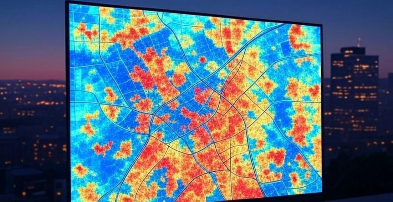
Featured image for Remote-Sensing Change Detection – GIS / spatial analysis workflow for Geospatial/vector/raster dataset
Imaging & scan service
Data GIS / spatial analysis Code: SCAN0790

Remote-Sensing Change Detection

Provider: Allschoolabs Verified Provider · 4–10 days estimated delivery

Service price

₦80,000₦106,400

per spatial-analysis project
Discount for partners
Estimated turnaround4–10 days
Modality / methodGIS / spatial analysis
Body / sample / data targetGeospatial/vector/raster dataset
⭐ Reviews

How to Request This Scan

  1. Click Request / Book Scan.
  2. Provide the requested patient, sample, instrument or data information and preferred service details.

Before ordering Remote-Sensing Change Detection, confirm the number and size of files, expected complexity, whether data cleaning is included, the number of revision rounds, required software/output format, and whether you need raw code/files in addition to the final report.

Final eligibility, preparation and safety requirements should be confirmed with the service provider before the procedure.

About Remote-Sensing Change Detection

Remote-Sensing Change Detection is a data-analysis service for Geospatial/vector/raster dataset using GIS / spatial analysis. It is designed to address spatial modelling, mapping or remote-sensing analysis with a workflow matched to your study question, data structure and intended output rather than applying a one-size-fits-all analysis.

Preparation & Service Guide

Who this service is for
Remote-Sensing Change Detection is suitable for researchers, students, clinicians, laboratories, NGOs, businesses and project teams that already have geospatial/vector/raster dataset and need this specific analysis to answer a defined analytical question. A clear objective and well-documented dataset will substantially improve the usefulness of the result.
Preparation instructions
Please remove passwords from files you intend to submit, keep an untouched backup of your original data, and provide a short data dictionary explaining variable names, units, codes, missing-value conventions and any exclusions already made. Supply coordinate reference system information, spatial extent, acquisition dates, layer descriptions and the output projection/scale you require. For raster data, include resolution and NoData conventions where known. For Remote-Sensing Change Detection, also tell the analyst about any unusual coding, exclusions, transformations or prior processing that could change how this dataset should be handled.
What you need to provide
For Remote-Sensing Change Detection, provide the analysis objective, dataset or file inventory, variable/data dictionary, study or business context, desired tables/figures, required software or reporting format if any, deadline, and a note identifying any confidential or regulated information in the files.
What to expect
Your analyst will review the files for structure and obvious quality issues, confirm the analytical approach for Remote-Sensing Change Detection, run the appropriate gis / spatial analysis workflow, and return the agreed outputs. Where relevant, deliverables may include cleaned data, code, statistical tables, figures, model diagnostics, maps, annotated images or an interpretation summary.
Safety, contraindications & cautions
For Remote-Sensing Change Detection, only submit data you are authorised to share. Remove direct personal identifiers whenever they are not essential, and use secure transfer for clinical, genomic, financial or other sensitive information. AnalysisAfrica service providers should not be asked to fabricate, alter or selectively suppress results to reach a preferred conclusion.
Result format & interpretation
The output from Remote-Sensing Change Detection should be read together with the stated assumptions, data-quality limitations and analysis plan. Statistical significance, model accuracy or algorithmic classification does not by itself prove causation or clinical validity; conclusions should remain proportionate to the design and quality of the underlying data.
Other important information
Changes to variables, endpoints, inclusion criteria or requested figures after work on Remote-Sensing Change Detection has started may require re-analysis and an updated quote. If reproducibility matters, request the analysis script, software/package versions, parameter settings and a record of data-cleaning decisions as part of the deliverables.

Questions About Remote-Sensing Change Detection

How much does Remote-Sensing Change Detection cost?

The current listed price is ₦80,000 per spatial-analysis project. Final charges may depend on provider-specific requirements or additional services.

How long does Remote-Sensing Change Detection take?

The estimated result delivery time shown for this service is 4–10 days. Actual timing may vary with preparation, image acquisition, specialist review or data quality.

How should I prepare for Remote-Sensing Change Detection?

Please remove passwords from files you intend to submit, keep an untouched backup of your original data, and provide a short data dictionary explaining variable names, units, codes, missing-value conventions and any exclusions already made. Supply coordinate reference system information, spatial extent, acquisition dates, layer descriptions and the output projection/scale you require. For raster data, include resolution and NoData conventions where known. For Remote-Sensing Change Detection, also tell the analyst about any unusual coding, exclusions, transformations or prior processing that could change how this dataset should be handled.

What do I need to provide?

For Remote-Sensing Change Detection, provide the analysis objective, dataset or file inventory, variable/data dictionary, study or business context, desired tables/figures, required software or reporting format if any, deadline, and a note identifying any confidential or regulated information in the files.

Are there important safety considerations?

For Remote-Sensing Change Detection, only submit data you are authorised to share. Remove direct personal identifiers whenever they are not essential, and use secure transfer for clinical, genomic, financial or other sensitive information. AnalysisAfrica service providers should not be asked to fabricate, alter or selectively suppress results to reach a preferred conclusion.

Quick Booking

Request this scan or imaging service, submit your requirements, or ask for a provider quotation.

Request / Book Scan Ask a Question Get Lab Materials Browse More Scans
See Procedures

Study Procedures & Methodologies

Access articles & scientific papers, medical journals and analytical research.

Open
Need help?Chat with us or request a test
or contact us
Chat now